As a collaboration between Madagasikara Voakajy, King’s College London, Bangor University, University of Antananarivo, The Royal Geographical Society and the P4GES project, our research team set out on the 4th of June for 2.5 weeks of fieldwork in Mangabe. We visited multiple sites in the region to measure water infiltration rates, study vegetation density, and carry out an accuracy assessment to verify our land use change maps. We were specifically looking to find out what effects land use change has on local hydrology and ecology.
-
 Our research team, left to right: Mamy, Cass, Shanti, and Natalie
Our research team, left to right: Mamy, Cass, Shanti, and Natalie
Our research team, left to right: Mamy, Cass, Shanti, and Natalie
-
Measuring water infiltration with an infiltrometer
Measuring water infiltration with an infiltrometer
-
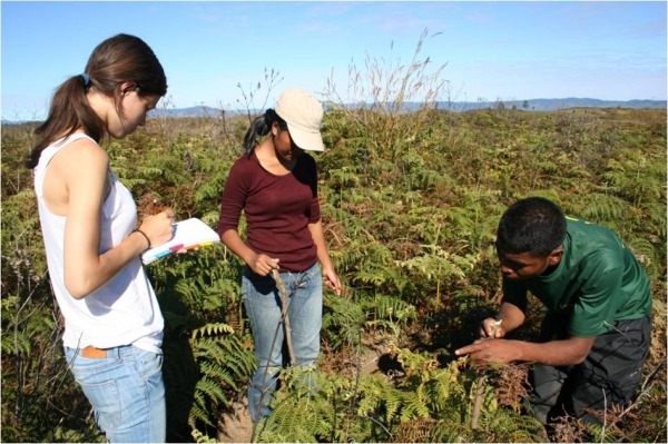
Studying vegetation density with our field guide Emile
Studying vegetation density with our field guide Emile
-
The contrast between primary forest and deforestation/burning at Mangabe
The contrast between primary forest and deforestation/burning at Mangabe


https://www.madagasikara-voakajy.org/blog/hydrological-and-ecological-impact-of-environmental-change-in-mangabe-echos-from-the-field#sigProId78a7ae9050
Walking around Mangabe, we saw beautiful primary forest, but sadly, we also encountered many deforested and burnt sites. Burning of vegetation leads to soil hydrophobicity and changes the quality of the soil, resulting in overall shifts in the water balance. Our analysis, which we will carry out in the next few weeks, should show what this exactly means for Mangabe’s hydrology.
It was an inspiring and memorable experience for us, and we would like to thank Madagasikara Voakajy again for all their help and guidance. We hope to meet again soon, but for now, misaotra betsaka and veloma!
